Surface from PNT FLT
Last updated: 2026-01-06
Overview
This tool automates the process of creating surface objects from PNT and FLT Files. The PNT and FLT Files are typically children of the DTM creation process. This command does the following:
-
Allows batch processing of multiple PNT and FLT files from multiple SRV Exports.
-
Allows the input of an outer boundary
-
Allows the input of the surface name
-
Creates the Surface Object
-
Inputs the PNT file to the surface object
-
Adds breaklines to the surface object
-
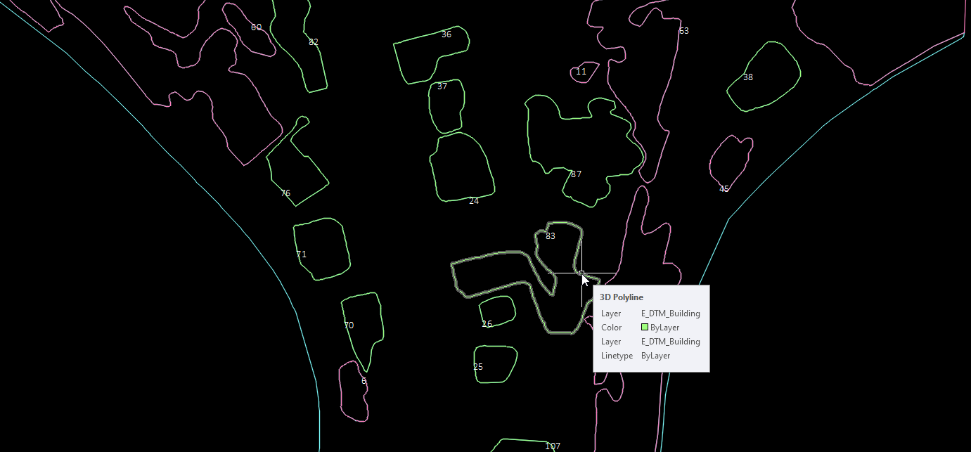
Creates polylines and adds boundaries for Waterbody, Obscure, and Building areas in the surface object
-
Creates polylines to delineate Weak areas
-
Numbers the polyline boundaries for troubleshooting purposes
Usage
WisDOT Survey tab > Mapping panel > Surface from PNT FLT
The Surface from PNT FLT tool can also be accessed from the command line: DOTMAPPINGSURFACEFROMPNTFLT.
-
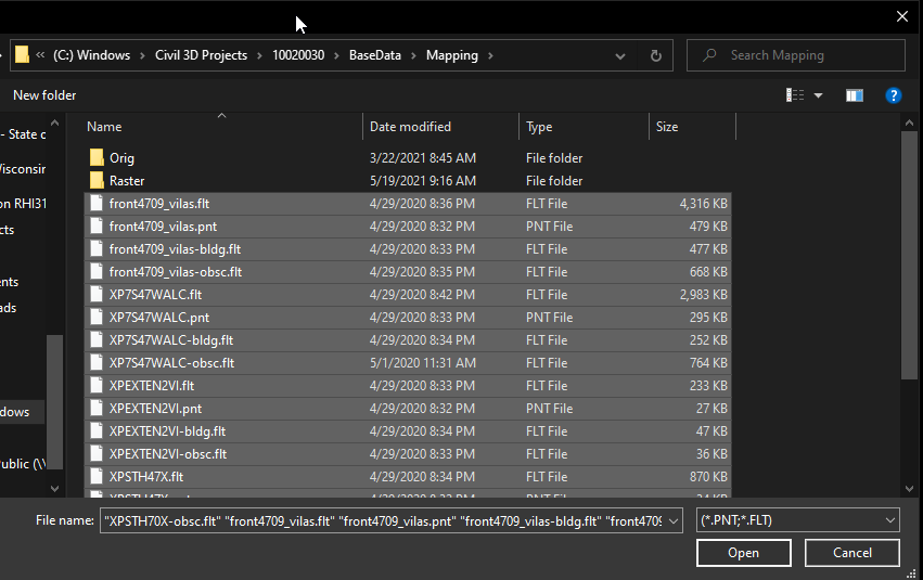
Browse to and select PNT and FLT files. Use Shift or Ctrl buttons to select multiple files at once.
-
Select outer boundary Polyline ‘ESC’ for none:
-
Select the polyline representing the outer boundary of the surface.
-
Or hit Esc or Enter to continue with no outer boundary.
-
-
Enter name of new Surface: <Exist>
-
Hit Enter to accept the default name of Exist.
-
Or type a different name and hit Enter to use something other than Exist.
-
-
The surface is created and displayed in the Ex Border surface style.
-
Zoom Extents (ZE) to see the surface.
Polylines for Waterbody, Building, Obscure, and Weak are created on the appropriate layers. These polylines are numbered to aid in troubleshooting.